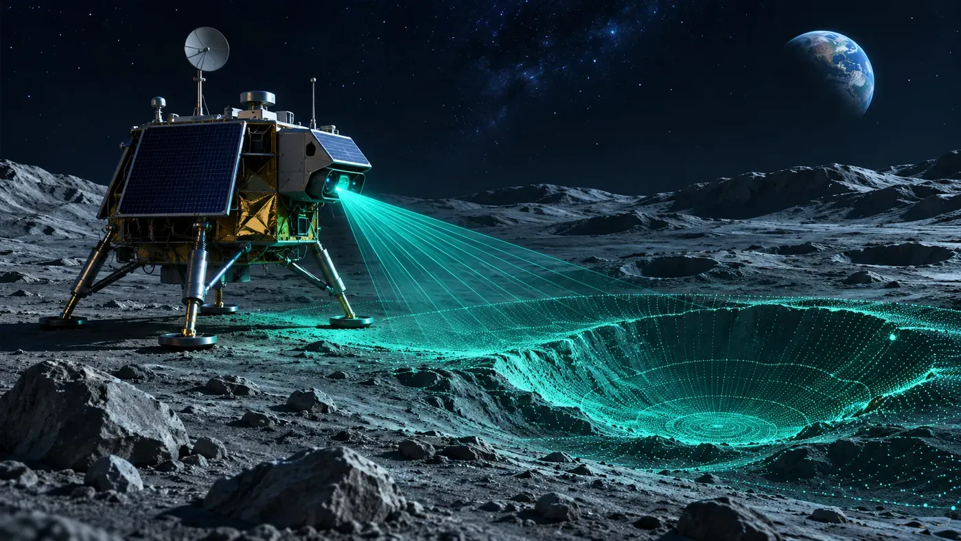
A Moon landing rehearsal on Earth
NASA reported on November 4 that its SPLICE guidance and navigation technology completed simulated lunar descent and landing maneuvers using an Alta-X drone. The test took place on August 27 at Rogers Dry Lake near NASA’s Armstrong Flight Research Center in California.
The payload mapped terrain and assessed potential landing areas. When it judged a target area unsafe, it redirected the drone toward a safer site, according to NASA. The system used light-detection and sensor data to construct high-resolution elevation maps.
Why autonomous navigation matters
A lander descending toward unfamiliar terrain may encounter slopes, boulders, or other hazards that are hard to identify from orbit. Communications delays and limited opportunities for human intervention make onboard decisions valuable, especially for future exploration farther from Earth.
A drone test does not reproduce every condition on the Moon. Lighting, dust, gravity, vehicle dynamics, and mission constraints differ substantially. Its value is in testing parts of the guidance and sensing chain under controlled flight conditions before future integration.
From experiment to missions
NASA says the flight advanced the technology’s readiness for potential robotic and crewed lunar use. The agency has also worked with commercial lunar lander providers on related technologies. Future missions will need to validate performance in their own hardware and operating environments.
Source
Cover image: AI-generated conceptual illustration.